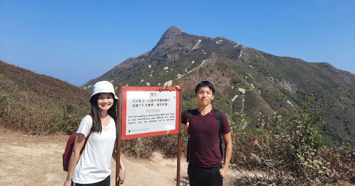
Sharp Peak Hiking Trail Review – Sai Kung – HK Local Advice With GPX
EscapeWithAnnualLeave contains affiliate links. We may receive compensation at no extra cost to you. See our Disclosure Policy for more information.
Sharp Peak is a famous Hong Kong Sai Kung hiking destination for travelers and locals alike. EscapeWithAnnualLeave brings you personal experience, advice, and a full review for hiking to Sharp Peak Sai Kung.
Unlike other family walks like Tai Tam, Cheung Chau or Lion Rock trails, it requires good physical fitness. I wouldn’t recommend you to add to your Hong Kong travel itinerary, unless you are a hiking enthusiast.
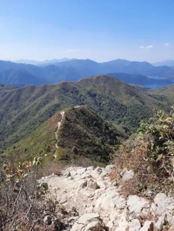
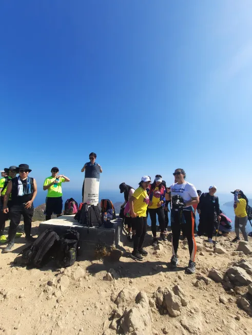
The summit with an altitude of 469m looks like a sharp triangle in the Sai Kung East Country Park. It is also part of the legendary “one of the four hardest routes” by the local Hong Kong hikers.
Sharp Peak Hiking Trail in a nutshell
| Hiking route name with trail GPX | Sharp Peak & Return |
| Targeted destination | Sharp Peak |
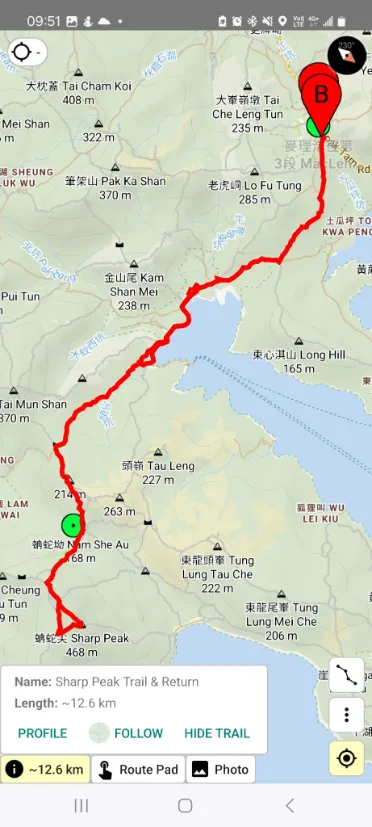
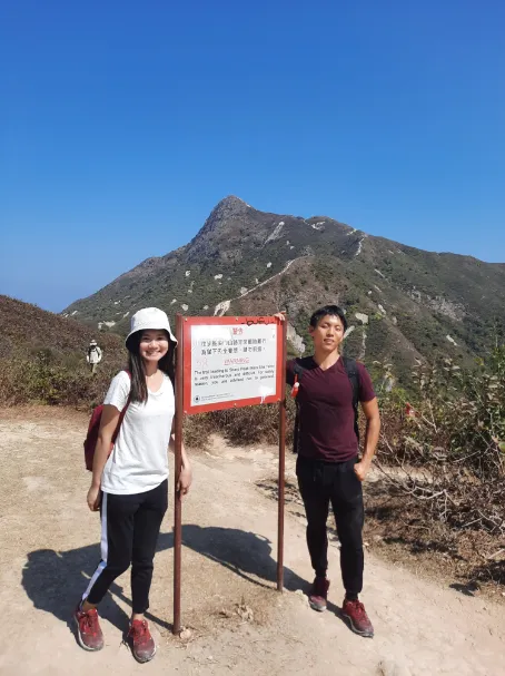
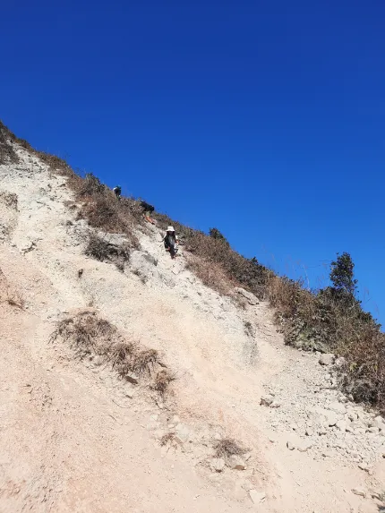
| Difficulty level with descriptions | 7 / 10. It is a challenging route that requires stamina and potential climbing due to the steep slope. The first part of the trail is easy where you just need to walk along the “MacLehose Trail Section 2” starting from Pak Tam Au bus station. Passing through Chek Keng pier, then turn left heading to “Nam She Au” after point M040 and before M039. After Nam She Au (168m), you will see a warning notice board where things will get challenging with steep slopes and not many trees as shelters. From there, it takes around 2km to reach the Sharp Peak (468m). |
| Estimated distance | Around 12.6 km, 6 km to Sharp Peak and return. |
| Estimated time to complete | Around 6 hours |
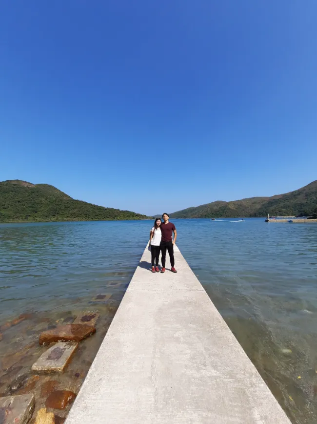
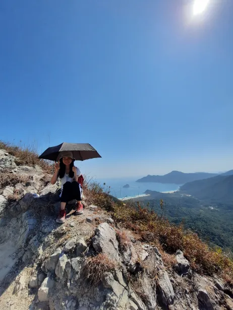
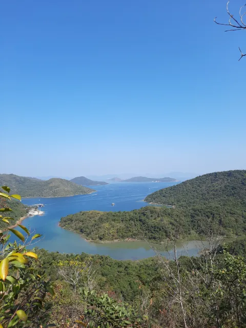
| Route features or best spots for photos | Tree hike during the first part of the hike at MacLehose Trail Pier view at Chek Keng with local stores (where they sell instant noodles and other snacks) Summit view with stunning sea & mountain views from Sharp Peak |
| Water supply & food required | At least 2 liters per person and you may want to top up to 3 liters if you choose to hike in summer given you will be exposed to the sun without shelters near the summit. For food, bring some snacks or lunch given its 6-hour hike. |
| Hiking gears required | Hiking shoes are a must. You may want to bring a pair of gloves and a hiking pole. |
| The best months & weather to go there | November to February are the best months for hiking to the summit when the weather is relatively cool. Springtime from March to April is still acceptable but the sunshine could start to get strong. May to October could be more challenging as you will need to prepare for strong sunshine, and avoid potential rain and even typhoons. |
| Danger Level | It is a challenging and potentially dangerous hike. You need to be physically fit and have sufficient supplies for this trail. There had been a death incident of a 57-year-old local hiker back in 2022 . |






How to get to the starting point & exit from the trail
The trail’s starting point is the “Pak Tam Au” bus station. The endpoint is to return from Sharp Peak to the same “Pak Tam Au” bus station.
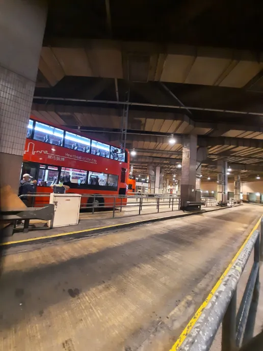
To get to the bus station, the easiest way is for the traveler to take bus number 94 from Wong Shek Pier to Sai Kung (key in number 94 in KMB bus website ). The bus ride is around 20 minutes. However, you need to factor in the time from the city center to Sai Kung which could take more than an hour.
Alternatively, you can take bus number 96R from Diamond Hill MTR Station to Wong Shek Pier (key in number 96R in KMB bus website). The bus ride is around 30 minutes or so. It is more convenient given you can get on the bus directly exiting the MTR station. However, the bus is only available on Saturday, Sunday or public holidays.
For exiting the trail, just take the opposite direction of either bus.
Alternative routes
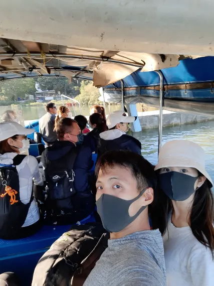
To cut the route shorter, there are some local boats from Chek Keng Pier to Pak Tam Au. The frequency depends on the local demand and it costs around HKD 50 per ride. It can cut short your route for 2 km or so on the way back.
Or you can head back to “Tai Long Au” (153m) from the top. Then head to Ham Tin Wan (the first beach), and from there walk to Sai Wan beach. From there you need to walk up “Chui Tung Au” (87m). Then hike another 20 minutes to Sai Wan Ting for the NR29 Min van.
Be aware that NR29’s last bus is at 6 pm. After that, you can only hail a taxi (which may be difficult and expensive), or else you can only walk back to Sai Kung. So you need to be very mindful of the time.
Best places to go after hiking
After completing the Sharp Peak trail, you will be getting back to Sai Kung most likely. The best places to celebrate the completion are either going to Sai Kung Seafood Street for seafood or going to the boutique restaurants near the Sai Kung city center.
Alternatively, you can also pre-book a buffet as a celebration for such a great achievement of the day.
Please leave me a comment for an inquiry about the route. Or share your experience of hiking there.
Cheers ~

